Field-focused Android app for urban green asset management
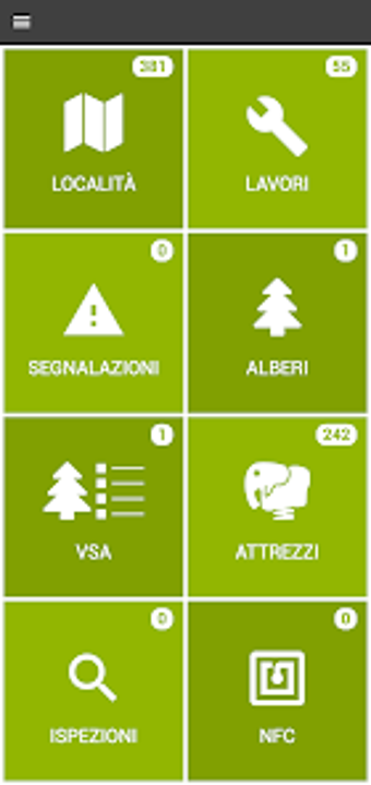
GreenSpaces Mobile, by R3GIS product team, is a field application for managing urban green infrastructure and maintenance workflows. It lets field operators collect asset inventories, record maintenance tasks in real time, and synchronize records with the GreenSpaces cloud from Android devices. Key capabilities include GPS mapping, photo attachments, QR/NFC scanning, customizable inspection forms, and offline data synchronization. Intended users are municipal green departments, arborists, and contractors who need auditable field records and coordinated office-to-field workflows.
What can GreenSpaces achieve during on-site inventories?
The app serves as a mobile extension of a central platform, letting crews capture and attach inspection data that feeds back into centralized asset management. Field teams can document trees, shrubs, and street furniture with photos and location stamps, and use QR or NFC tags for fast identification. The tool supports task recording and status updates in the field, so supervisors see recent activity recorded by crews without manual data re-entry.
Does it slow down your device during data collection?
Device impact depends on active sensors and data volume. GPS positioning and in-app photo capture require the device's location and camera hardware, which increases battery and sensor use during shifts. The app supports offline work, so crews continue to collect records without a network; recorded data is synchronized once a connection is available, which concentrates network and CPU activity at sync time rather than continuously.
Is it safe to use for municipal operations?
Access is account-gated and connects to a central cloud for recordkeeping, since valid credentials are required and data synchronizes with the GreenSpaces platform. That model centralizes records for audit and supervision and anchors responsibility within an organisation. NFC and QR support speeds physical asset lookups, but those features require corresponding device hardware and appropriate permissions to operate.
Do I need specialist skills to operate it correctly?
The app targets field operators and maintenance crews rather than GIS specialists. Customizable inspection forms are intended to be tailored by administrators, so field staff can follow guided entry screens. This reduces on-device configuration needs for crews, while administrative users handle form design, asset classes, and integration with the central platform before deployment.
Suitable for organised teams that pair field crews with central administration
GreenSpaces is a practical option for municipal and contractor teams that require disciplined, auditable field workflows and centralized record control. Expect an initial setup phase led by administrators and allow a short, focused training session for crews to standardize tagging and photo documentation practices. The app rewards organized rollouts where device hardware and account provisioning are managed before field deployment.